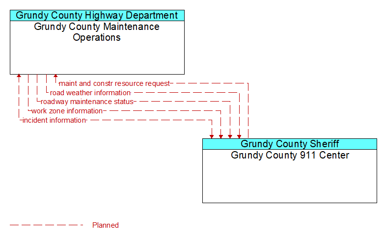
Interface: Grundy County Maintenance Operations - Grundy County 911 Center
Architecture Flow Definitions
incident information (Planned) Applicable ITS Standards
Notification of existence of incident and expected severity, location, time and nature of incident. As additional information is gathered and the incident evolves, updated incident information is provided. Incidents include any event that impacts transportation system operation ranging from routine incidents (e.g., disabled vehicle at the side of the road) through large–scale natural or human–caused disasters that involve loss of life, injuries, extensive property damage, and multi–jurisdictional response. This also includes special events, closures, and other planned events that may impact the transportation system.
maint and constr resource request (Planned) Applicable ITS Standards
Request for road maintenance and construction resources that can be used in the diversion of traffic (cones, portable signs), clearance of a road hazard, repair of ancillary damage, or any other incident response. The request may poll for resource availability or request pre–staging, staging, or immediate dispatch of resources.
road weather information (Planned) Applicable ITS Standards
Road conditions and weather information that are made available by road maintenance operations to other transportation system operators.
roadway maintenance status (Planned) Applicable ITS Standards
Summary of maintenance fleet operations affecting the road network. This includes the status of winter maintenance (snow plow schedule and current status).
work zone information (Planned) Applicable ITS Standards
Summary of maintenance and construction work zone activities affecting the road network including the nature of the maintenance or construction activity, location, impact to the roadway, expected time(s) and duration of impact, anticipated delays, alternate routes, and suggested speed limits. This information may be augmented with images that provide a visual indication of current work zone status and traffic impacts.