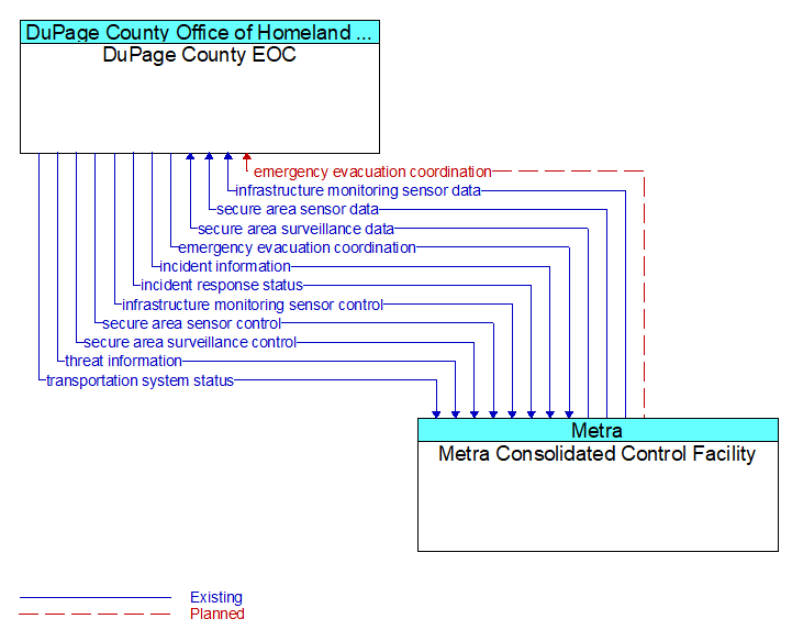
Interface: DuPage County EOC - Metra Consolidated Control Facility
Architecture Flow Definitions
emergency evacuation coordination (Planned)
Coordination of emergency evacuation needs.
incident information (Existing) Applicable ITS Standards
Notification of existence of incident and expected severity, location, time and nature of incident. As additional information is gathered and the incident evolves, updated incident information is provided. Incidents include any event that impacts transportation system operation ranging from routine incidents (e.g., disabled vehicle at the side of the road) through large–scale natural or human–caused disasters that involve loss of life, injuries, extensive property damage, and multi–jurisdictional response. This also includes special events, closures, and other planned events that may impact the transportation system.
incident response status (Existing) Applicable ITS Standards
Status of the current incident response including a summary of incident status and its impact on the transportation system, traffic management strategies implemented at the site (e.g., closures, diversions, traffic signal control overrides), and current and planned response activities.
infrastructure monitoring sensor control (Existing) Applicable ITS Standards
Data used to configure and control infrastructure monitoring sensors.
infrastructure monitoring sensor data (Existing) Applicable ITS Standards
Data read from infrastructure–based sensors that monitor the condition or integrity of transportation infrastructure including bridges, tunnels, interchanges, pavement, culverts, signs, transit rail or guideway, and other roadway infrastructure. Includes sensor data and the operational status of the sensors.
secure area sensor control (Existing) Applicable ITS Standards
Information used to configure and control threat sensors (e.g., thermal, acoustic, radiological, chemical), object, motion and intrusion detection sensors. The provided information controls sensor data collection, aggregation, filtering, and other local processing.
secure area sensor data (Existing) Applicable ITS Standards
Data provided by threat sensors (e.g., thermal, acoustic, radiological, chemical), and intrusion, motion, and object detection sensors in secure areas indicating the sensor's operational status, raw and processed sensor data, and alarm indicators when a threat has been detected.
secure area surveillance control (Existing) Applicable ITS Standards
Information used to configure and control audio and video surveillance systems used for transportation infrastructure security in secure areas. The provided information controls surveillance data collection, aggregation, filtering, and other local processing.
secure area surveillance data (Existing) Applicable ITS Standards
Data collected from surveillance systems used to monitor secure areas. Includes video, audio, processed surveillance data, equipment operational status, and alarm indicators when a threat has been detected.
threat information (Existing) Applicable ITS Standards
Threats regarding transportation infrastructure, facilities, or systems detected by a variety of methods (sensors, surveillance, threat analysis of advisories from outside agencies, etc.
transportation system status (Existing) Applicable ITS Standards
Current status and condition of transportation infrastructure (e.g., tunnels, bridges, interchanges, TMC offices, maintenance facilities). In case of disaster or major incident, this flow provides an assessment of damage sustained by the surface transportation system including location and extent of the damage, estimate of remaining capacity and necessary restrictions, and time frame for repair and recovery.